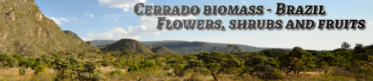
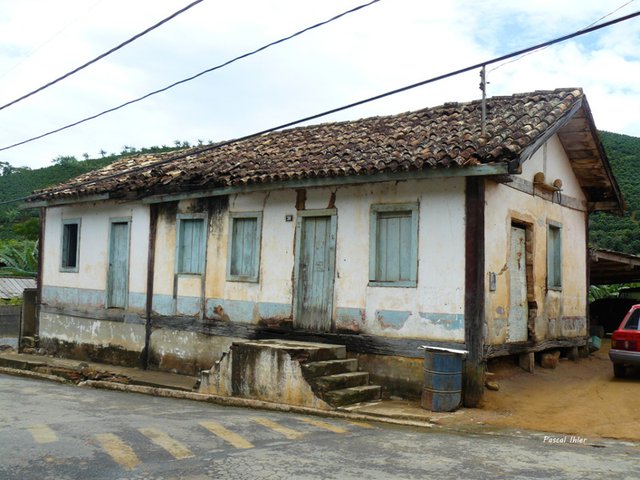
It's located at the limit between the biomass Cerrado to the West and the biomass Mata Atlânticaat the East.
It includes the massifs of the Caparaó, on the border between the states of Minas Gerais and that of Espírito Santo and the National Park represents one of the great places of the mountain in Brazil and shelters one third of the highest points of the country like the Peak of Bandeira which culminates at 2,892 meters of altitude.
In addition to this culminating point, there is a conservation unit (UC) which includes five of the highest peaks in the entire national territory.
This Unit has an area of more or less 31.8 thousand hectares. Almost 80% of the park is part of the Espírito Santo territory. Most of the peaks are located at the boundary between states and are found the peak of Cristal, with 2,770 meters located exclusively on the territory of Minas Gerais State, the Peak of the Bandeira (2.892 meters), the Peak 2 or Peak of Cruzeiro (2.852 meters), the Peak of Calçado (2.849 meters), the Peak of Calçado Mirim (2.818 meters).
The park is also home to other peaks of lower altitude but still like the Mount of Cruz do Negro (2,658 meters), the Peak of the Pedra Roxa (2.649 meters), the Peak of Cabritos or of Tesouro (2.620 meters), the peak of Tesourinho (2.584 meters), and also the Pedra Menina (2.037 meters), all located in the territory do State of Espirito Santo (capixaba). The mountains of Caparao is one of the most representative areas for preserving of the biomass of Mata Atlântica in the territory of capixaba.