----------Photographs - Geographical location----------City :
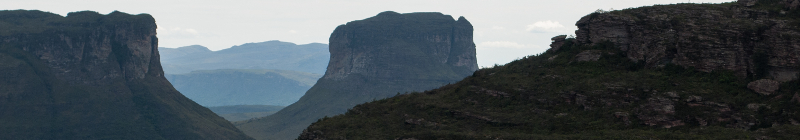
Chapada dos GuimarãesThe word chapada means mountains.
The Chapada dos Guimarães consists of various amazing places that are the archeological sites, palaeontological sites, and numerous springs and waterfalls that flood the area.
The area of the National Park is 3,300 km² and 2,500 km² in regard to the natural environment protection area, with municipal parks and reserves.
The Parque Nacional da Chapada dos Guimarães coverage area includes geomorphic units such as:
* The set of Guimarães constitut the water divider between Platina basins, Amazônia and Araguaia and surrounded by steep cliffs (altitudes of 300 to 600 m), and the Planalto da Casca, areas whose altitude is between 450 and 600 m).
* The depression of the Paraguay river which divides into two subunits, knowing that in the Parque Nacional da Chapada dos Guimarães is now only barely a subunit Cuiabana depression, including low area with north-south tilt and a altitude of 200 to 450 m.
Region :
Chapada dos GuimarãesState :
Mato Grosso